|
The Bradshaw Mountains were named after brothers
Isaac and William Bradshaw after their deaths.
American
Indian History
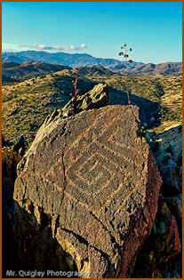
| The
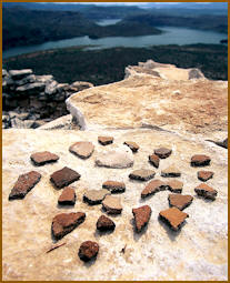
first known settlements in the Bradshaws were the
Hohokam people. They
built settlements near rivers, springs, and
hilltop forts. It’s thought because of a
prolonged warming period on the earth they
abandoned their Bradshaw settlements and
left around 1100 AD. |

Wildflower Bread Company
of Prescott Advertisement
|
Today, the
Hohokam is thought to be the Pima Indian tribe. They
left many signs of their culture behind that can
still be seen today. Sometime during the 1500’s
fierce Apache Indians are thought to have migrated
from Canada south into the West. They were already
well established in the Bradshaws when Europeans
attempted to explore. In the 1860s, the Yavapai’s
population was over 2,000 people. A long ten year
war began between the Yavapai Apache and the US
government, many bloody battles were fought in and
around the Bradshaws. They surrendered in 1873. By
the end of the war, the Yavapai Apache tribe
numbered around 500.
Today
there is a reservation near Prescott and Camp Verde
where the Yavapai Apache tribe resides.
The
Yavapai Apache Indians named the Bradshaw mountains,
Wikanyacha, for its rugged black range of rocks.
AZ’s Yavapai County is named after this tribe.
Anglo History
Because
fierce Indians lived in this mountain range Mexicans
and Americans stayed clear of these dangerous
mountains even though they were rumored to be filled
with gold. .
William
and Isaac Bradshaw, both engineers, migrated to
Arizona from California.
In 1863,
William was the first to lead a group of men into
the Bradshaws in search of silver and gold. They
traveled as a group for protection up Black Canyon
Creek (Poland Creek) above Black Canyon City. They
did find the fabled gold and left unseen by Indians.
William,
a heavy drinker, became sick and committed suicide
after his return. He is buried in an unmarked grave
near La Paz, AZ.
His
brother, Isaac, ventured into the Bradshaws at age
66 in search of the gold locations his brother told
him about. He and his party also found gold and
silver. He died and is buried in a remote area of
the mountains near Bradshaw Springs.
In 1864,
the Walker Party entered the Bradshaws and followed
Lynx Creek deeper into the higher elevations near
current Lynx Lake. Gold and silver was found.
News of
these two parties gold finds spread and a gold rush
began in the Bradshaws. It was dangerous travel as
the Indians defended their homeland attacking often.
Yavapai Apache leaders like Big Rump, Quails TopKnot,
Grean Leaf and others, earned fierce reputations. In
return Indian fighters like William Fourr, King
Woosley and Joe Dye were known for their successful
civilian Indian campaigns during the Civil War, when
US troops were scarce.
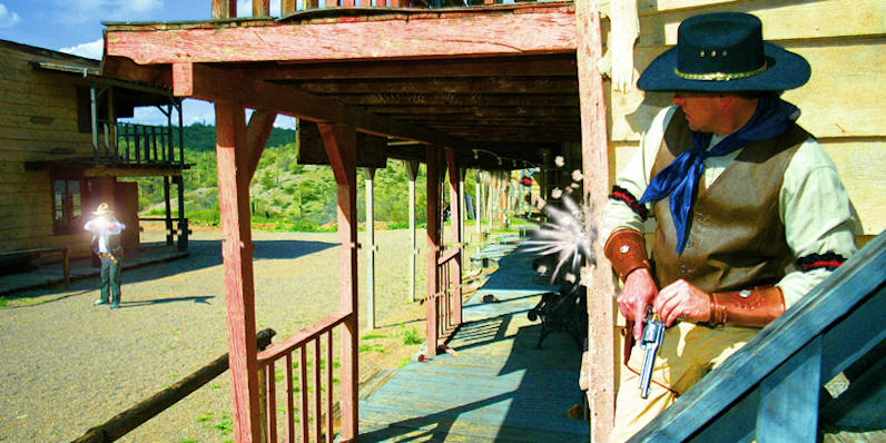
After
the long Bradshaw Indian war ended in 1873,
white men flooded into the Bradshaws and towns
sprung up. Mining for gold and silver was the
activity that supported them. Smelters were built to
melt gold and silver, stage coach lines were
established to move people, plenty of saloons were
constructed in towns and, of course, jails to house
bad men. Gunfighters like Jeff Standifer, Charles
Beach and others gained bloody questionable
reputations. Lawmen such as Buckey O Neill, James
Dodson and many more earned reputations by
capturing bad men and keeping the peace.
During
the early years, woman were scarce in the Bradshaws.
But several brave woman made this mountain range a
more civilized place. One of the first (during the
1860's) was Mary Ramos, living on the south west
side of the range, on the banks of Humbug Creek.
Others like Sarah Mayer, at Mayer Station and of
course, during the early 1900's, Sharlott Hall.
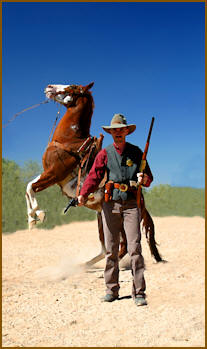
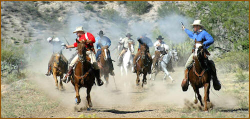
Cattlemen began ranching the area to provide food.
The old west culture of cowboys, miners, gamblers,
gunfighters, lawmen and robbers began in the
Bradshaws.

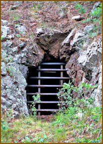
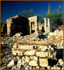
Ghost towns and mining camps
There
are over 40 ghost towns and mining camps in the
Bradshaw Mountains. Visit our ghost town page to
learn more.
Peaks
-
Mount
Union… highest peak, 7,979 feet.
-
Mount
Davis… second highest, 7,897 feet.
-
Mount
Tritle… third, 7,793 feet.
-
Spruce
Mountain…fourth, 7,696 feet, provides spectacular
views north, east and west.
-
Towers
Mountain… fifth, 7,628 feet, provides spectacular
views south.
-
Maverick
Mountain… sixth, 7,443 feet.
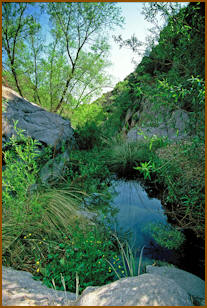
Habitats
Elevations in the Bradshaws range from 1400' to
8,000'. With the differences in elevations,
rainfalls vary greatly. Summer monsoons and winter
snows produce the much needed moisture. Flooding
occurs, so be careful.
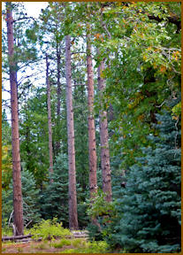
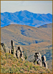
Lower
elevations include the Sonoran desert. Saguaro and
other cacti inhabit the lower levels. As one climbs
to the higher elevations within the Bradshaws the
following habitats occur:
When a
wet winter occurs, Spring wildflowers can be
prolific in many areas.
Bradshaw Mountain Average Precipitation
-
Jan…….1.74”
-
Feb……1.86”
-
March…1.74”
-
April…..0.95”
-
May……0.48”
-
June……0.40”
-
July……2.90”
-
Aug……3.27”
-
Sept..…1.71”
-
Oct……1.11”
-
Nov……1.26”
-
Dec……1.63”
Average Annual Total Rainfall
Geography
-
The
geology of the Bradshaw Range includes Precambrian
schist, granite and other intrusive rocks. These
older rocks are part of the main North American
crystal plate, and have been brought to the surface
by geologic uplift. While there are some younger
tertiary volcanic rocks, such as basalt, which cover
the hills and mountains. Older Precambrian rocks are
underneath.
-
Gold is
widespread at many locations within the Bradshaws.
Many smaller tributary and ravines have been panned
for their placer gold.
-
Yavapai
Precambrian schist outcrops are good places to look
for gold down stream.
-
Some of
the first discoveries of gold in the Bradshaws was
made in Poland and Lynx Creeks in 1863 by the
William Bradshaw and the Joe Walker parties. Lynx
Creek was very rich in certain areas. Successful
prospectors recovered more than an ounce per day
Today’s Gold
-
The gold
districts within the Bradshaw range are among the
most productive placers in the state. Gold districts
in this area include Lynx Creek, Big Bug Creek,
upper Hassayampa River, Groom Creek, Black Canyon
and others.
Wilderness areas
There
are several nearby wilderness areas. Visit our
wilderness page to learn more.
-
Castle
Creek
-
Granite
Basin
-
Hassayampa
-
Hells
Canyon
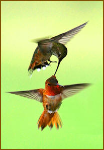
Wildlife
Click to enlarge
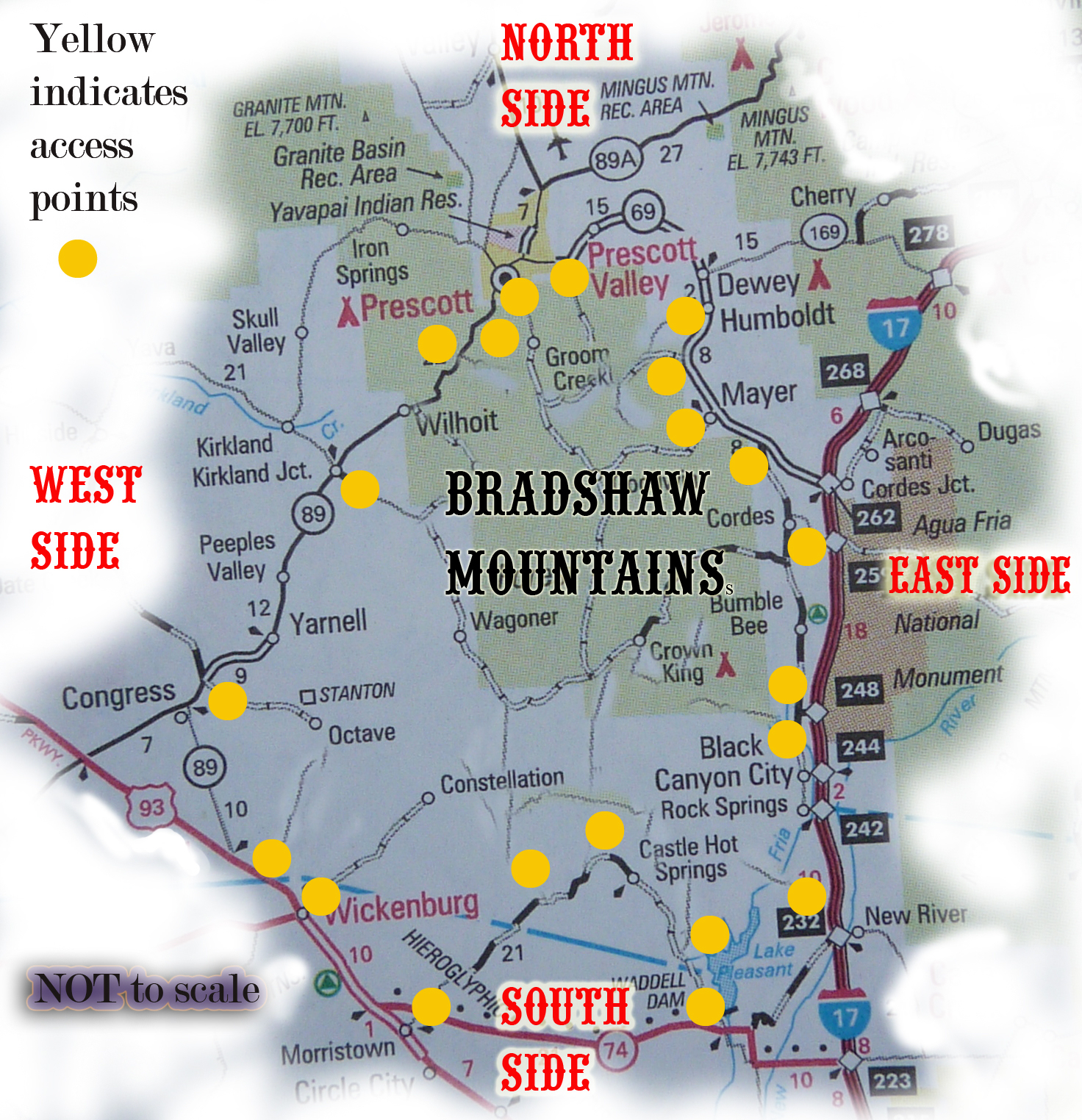
Common Access Points into the Bradshaws
South Side
East Side
-
I 17, Table Mesa
Road
-
I 17, Black Canyon
City, Old Black Canyon Stage Road
-
I 17, Bumble
Bee/Crown King Road
-
I 17, Bloody Basin
Road
-
Hwy 69, Spring
Valley, Antelope Creek Road
-
Hwy 69, Mayer, FS
67 Pine Flat Road
-
Hwy 69, Poland
Junction, FS 261
-
Hwy 69, Humboldt,
Iron King Mine Road
North Side
-
Walker
Road, Lynx Lake Road, FS 197
-
Senator
Highway, FS 52 road
-
Ponderosa Park, FS 66 Road
-
Wilhoit,
FS 72 Road
West Side
-
Kirkland
Junction, Wagoner Road
-
Congress, Stanton Road
-
Wickenburg, Rincon Road
-
Wickenburg, Constellation Road FS 362
-
Morristown, Castle Hot Springs Road
|
 Become
a Friend
Become
a Friend